
Summarize this article with:
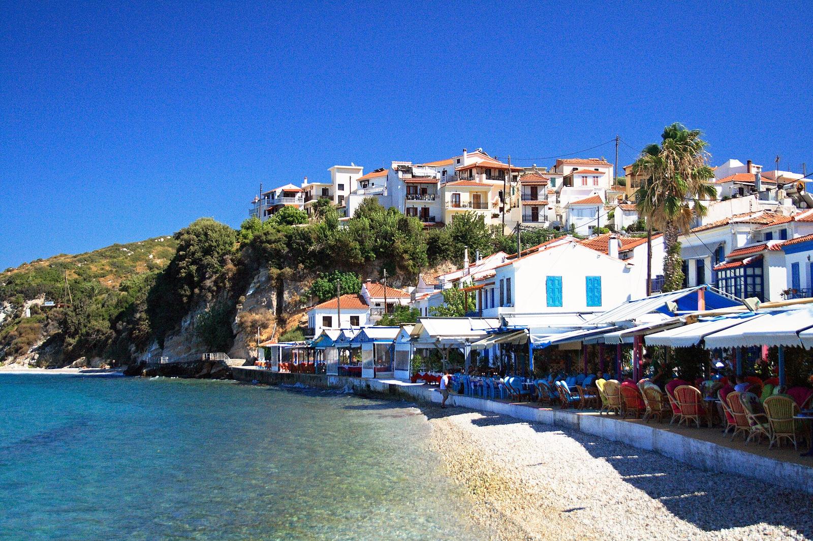
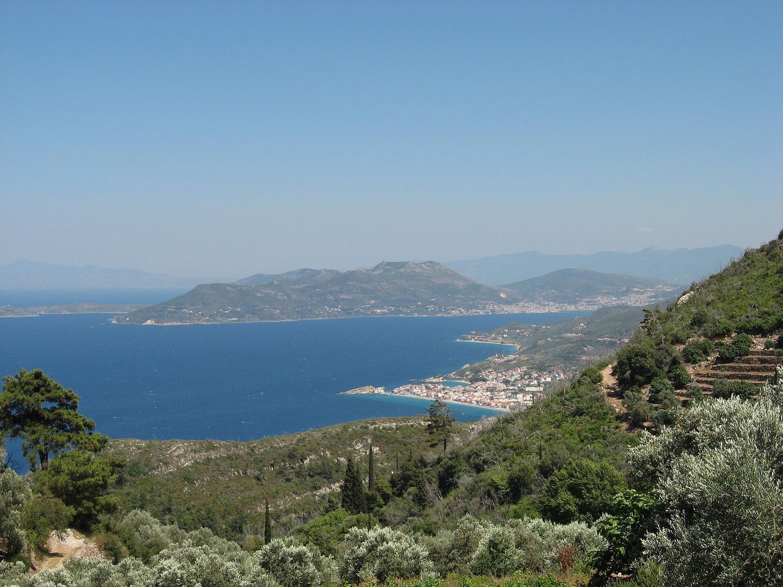
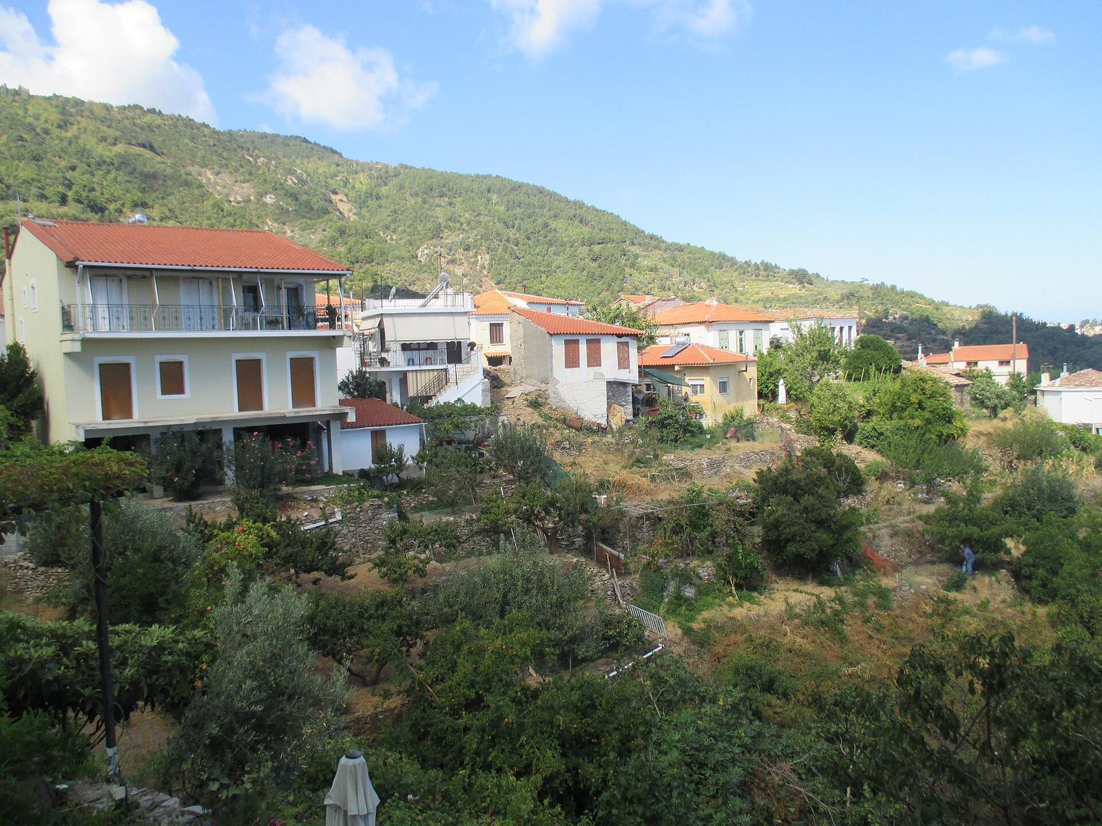
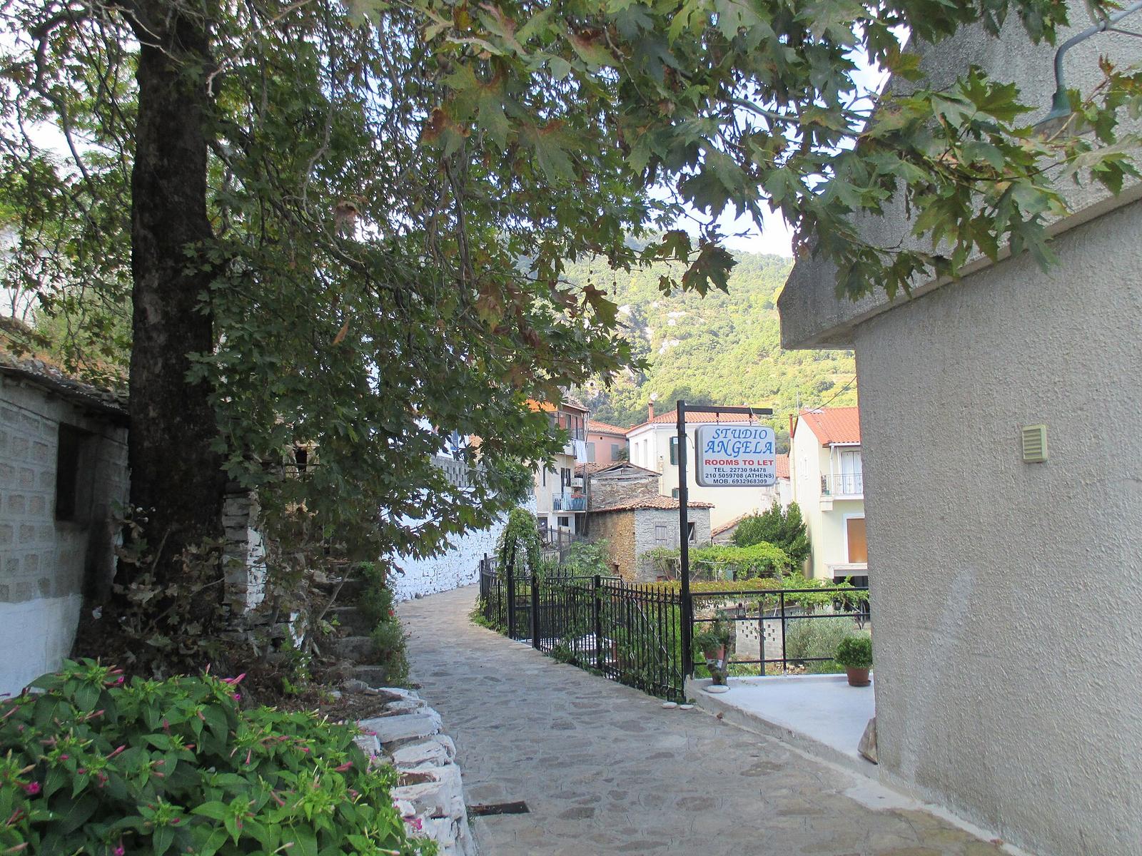
Manolates is a traditional mountain village at about 350 to 370 m on the green slopes of Mount Ambelos, also called Karvounis. Tiled roofs, narrow lanes and a small square full of tavernas look out over the north Aegean towards Turkey. The terraces around it grow the white muscat used for Samos' sweet wine. Drive up from Kokkari, walk, eat, and come back down for a swim.
What to see and do
- 1The village lanes: colourful stone houses, steps and a central square ringed by cafés and tavernas. It is small, with 78 permanent residents in 2021, and compact enough to see in an hour; look in at the Zoodochos Pigi church and the Velonis House folk collection.
- 2Hiking trails: paths lead to Vourliotes, Stavrinides, Aidonia and Valeontades. The waymarked Vourliotes–Manolates–Vourliotes loop is 7.6 km, about 3 h 45 with 632 m of climbing, graded 2 out of 5.
- 3The tavernas and workshops: the classic reason to come up is a long lunch with a view. Leave time for the pottery workshops, art studios and shops selling local products and folk crafts.
- 4Ambelos and the neighbouring villages: the wine route linking Manolates, Ambelos and Stavrinides is about 16 km, roughly 40 minutes of driving without stops. Vourliotes is the natural next stop, with its own tavernas.
Practical tips for Manolates
The usual approach is from the north coast road via Agios Konstantinos. The final 4 km are paved but steep, narrow and full of bends, following the Kakorema ravine through the Aidonia area, with plane trees, pines, cypresses and running water. Drive slowly and watch for tight passages in both Manolates and Vourliotes. Parking at the edge of the village and finishing on foot is easier than squeezing into the lanes.
Public transport does not really help here. The published KTEL timetables show no bus to Manolates; the nearest village served is Vourliotes, with a single 14:00 departure from Vathy on Wednesdays only. A car, motorbike or bicycle is the practical way up. Walkers can also start from Vourliotes, which has tavernas and cafés, and follow the loop through the Nightingale stream valley.
There are very few rooms in the village, so most people come for the day and stay on the coast. It is quiet outside summer and busier in July and August. The official trail network rates October to December as the best time for the Vourliotes loop, for the colours and smells. Leave some space in your bag if you plan to buy pottery or crafts.
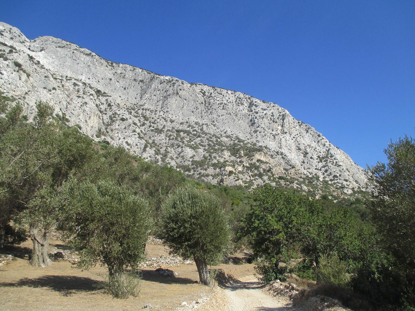
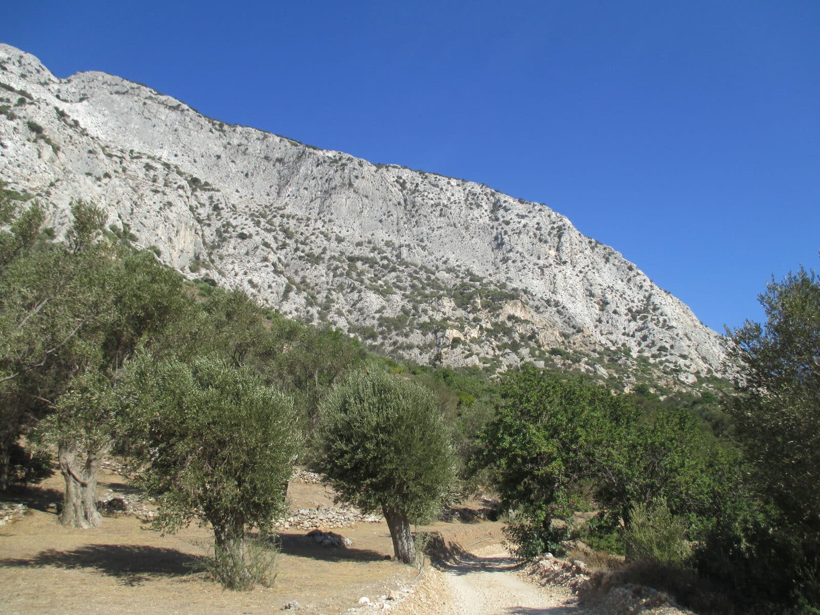
Ambelos, known locally as Karvounis, is the larger of the island's two mountain ranges and fills the centre of Samos. Its average height is about 900 m and its summit, Profitis Elias, reaches 1,153 m. Turkish pine covers the lower slopes and black pine grows higher up, above old farming terraces that islanders call pezoules.
The mountain is protected as the Natura 2000 site Oros Ambelos (GR4120002), which covers 4,896.61 ha, and the Greek Biotopes and Wetlands Centre has listed it as a habitat since 1995. Together with Kerkis, it holds more than 1,400 endemic and rare plant species according to the regional tourism office. Keep to the paths and leave the flowers where they grow.
From Kokkari, the road to Manolates climbs for about 8 km through pines and vines, a drive of 20 to 25 minutes. The village is also 32 km from Pythagorio and 26 km from Marathokampos. Discover Greece describes it as car-free, with pottery and weaving workshops and well-signed paths dropping into the Aidonia valley below.
Vourliotes, the neighbouring village at 330 m, was founded at the end of the 16th century by settlers from Vourla in Asia Minor, which gave it its name. The Greek state listed it as a place of special natural beauty in 2002. It lives from vines and olives, keeps a shaded central square and lies 21 km from Vathy.
The Panagia Vrontas monastery, the oldest on the island, belongs to Vourliotes. A demanding waymarked route climbs from Kokkari past the Vronda monastery to Lazaros peak: 8.8 km, about 5 h 30, graded 5 out of 5. A gentler option from the same village is Kokkari to Vourliotes and back, 10 km in about 4 h 15, graded 2 out of 5.
Several other marked routes reach Manolates from the coast. Agios Konstantinos to Stavrinides, Manolates and back to Stavrinides covers 11.4 km in about 5 h 30, graded 3 out of 5. The loop from Valeontades through Manolates is 8.2 km, around 4 hours, 2 out of 5. For a short outing, Agios Konstantinos to the Ambelos waterfalls is 3.4 km and 1 h 40.
Ambelos village still has tavernas and wine producers. A path leaves its car park and runs through pines and olive trees towards the waterfalls and caves, about half an hour on foot. The white muscat grown on these slopes is the grape behind the island cooperative's wines, which range from dry through medium to sweet.
Manolates has a small rural surgery, but for anything serious the nearest round-the-clock option is the health centre in Karlovasi, which runs 24 hours a day, every day of the year, with an ambulance crew. The general hospital is in Vathy. In an emergency, dial 112 anywhere on the island, or 166 for an ambulance.
Tours to Manolates
The west-coast bus tour includes Manolates on its guided loop.
 Full-day tourfrom US$69
Samos: Full-Day Island Bus Tour (Starting from West Samos)
- Focuses on the quieter west coast: Karlovasi, Manolates, Mount Kerkis foothills
- A guided loop with hotel pickup included
Best for: First-timers who want the west coast highlights in one organised day
See prices & availability
Frequently asked questions
By car from Kokkari or Karlovasi, on winding mountain roads that take some time to drive. There is no direct bus in the published timetables, so a rental car makes the day easier.
See how to get to SamosSpring and autumn are best for walking; summer is hot on the trails, though the mountain air and pine shade make it more comfortable than the coast. Avoid the middle of the day if you plan to hike.
See the best months to visitEasily: many visitors go up in the morning and come down to Kokkari's beaches or the Potami area for a swim in the afternoon.
Explore KokkariPractical details (opening times, prices) change. Verify before you go. Last updated September 2026.