Summarize this article with:
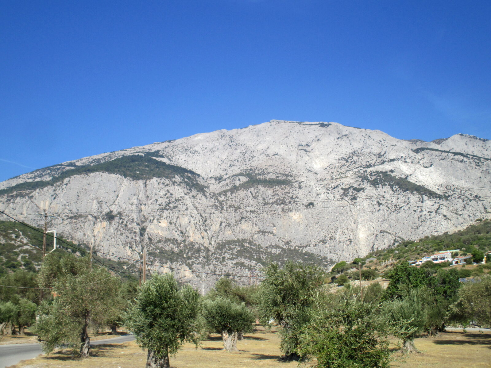
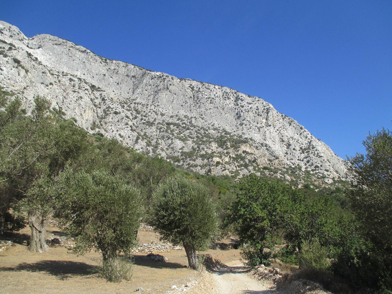
At about 1,434 m, Kerkis is the highest point on Samos, well above Mount Ambelos, whose top reaches 1,153 m. Its summit is called Vigla. The trails climb through pine forest, past monasteries and chapels, onto bare rocky ridges. It is a protected Natura 2000 area and a demanding, self-guided day for fit walkers, based around Marathokampos and Votsalakia on the quiet west side.
What to know
- 1A full-day commitment: every route means a similar climb. The full circular route is about 14 km with more than 1,000 m of ascent. Start before 7 am in warm weather and leave time to be down before dark.
- 2Where to base yourself: the west coast around Marathokampos and Votsalakia is the practical base. Allow about 20 minutes by car on gravel tracks to reach any trailhead; early in summer these are rough and can damage a low car.
- 3Weather matters: strong wind, thick fog, heatwaves and sudden storms all make the mountain dangerous. Mobile coverage is weak, so tell someone your route and when you expect to be back.
- 4What to bring: hiking boots, a warm layer even in summer, at least 3 litres of water, snacks, sun cream, a hat, an offline map or GPS, a head torch and a power bank. There is nothing to buy on the way.
Choosing your route up Kerkis
The classic route starts from Votsalakia and passes two monasteries. It takes around 4 hours just to go up, and after the second monastery the path becomes fainter, with loose stones. From Marathokampos, allow about 3 to 4 hours to the summit. From Kosmadei on the north side, waymarked route 11 takes about 4 h 15 with 868 m of climbing, starting at 575 m. The southern trails are generally the easier ones.
The shortest line is also the most dangerous. Route 8, from Panagia Makrini above Kallithea to Vigla, is 2.6 km with 611 m of ascent, about 2 h 15 and graded 5 out of 5. Much of it follows a ridge with a 300 m drop on one side. Do not try it in wind, if you suffer from vertigo, or without experience and good boots. You reach its start from Kallithea via route 7.
On a clear day the summit looks over the open sea to Ikaria and Fourni. From Vigla you can continue on route 10 to the Panagia Kakoperato monastery and then route 11 down to Kosmadei. Stay on marked paths: the massif has steep cliffs and isolated areas. On the drive back, the Cave of Pythagoras sits at the foot of the mountain, signposted from the road before Marathokampos. Take all rubbish home and leave the rare plants alone.
The network's own figures for the Votsalakia route are 9.4 km and about 6 hours, graded 5 out of 5, so treat the 4-hour ascent quoted locally as a fast walker's time. The approach from Kakoperato over the Zastano peak to Vigla and on to the Monument is 10.2 km and about 5 h 30, also graded 5 out of 5, while Drakei to Zastano alone is 7.3 km, 5 h 15 and 4 out of 5.
Not every walk on Kerkis has to end at the summit. Kosmadei to the Monument is 2.6 km, about 1 h 10 and graded 1 out of 5. Kosmadei to the Kakoperato cave is 3.2 km, 1 h 25 and 2 out of 5. On the south side, a 12.5 km loop from Limnionas via Paleochori and Aghia Kyriaki takes about 5 h 30, graded 3 out of 5, and passes the Limnionas spring that the mountain feeds.
The whole massif is protected. Oros Kerkis (GR4120008) covers 9,117.77 ha and is a Special Protection Area for birds, and the separate Kerkis-Seitani site (GR4120003) runs down to the sea on the north-west coast. The official record lists limestone cliffs with plants rooted in the cracks, juniper scrub, low Aegean phrygana, rocky grassland and caves that tourism has never touched.
Among the plants it names are Campanula samothracica, Silene urvillei, Aubrieta deltoidea, Crocus cappadocicus and the orchid Cephalanthera cucullata. The animals include greater and lesser horseshoe bats, badger, hare, stone marten, the spur-thighed tortoise and the Ottoman viper. According to the regional tourism office, Kerkis and Ambelos together hold more than 1,400 endemic and rare plant species.
Birdwatchers come here too. The tourism office names the slopes of Kerkis among the main observation areas on Samos, alongside the wetlands, and points to steep cliffs as the place to look for raptors. The caving association has recorded about 80 natural caves on the two mountains, but none is open to visitors, to protect the bats and jackdaws that live in them.
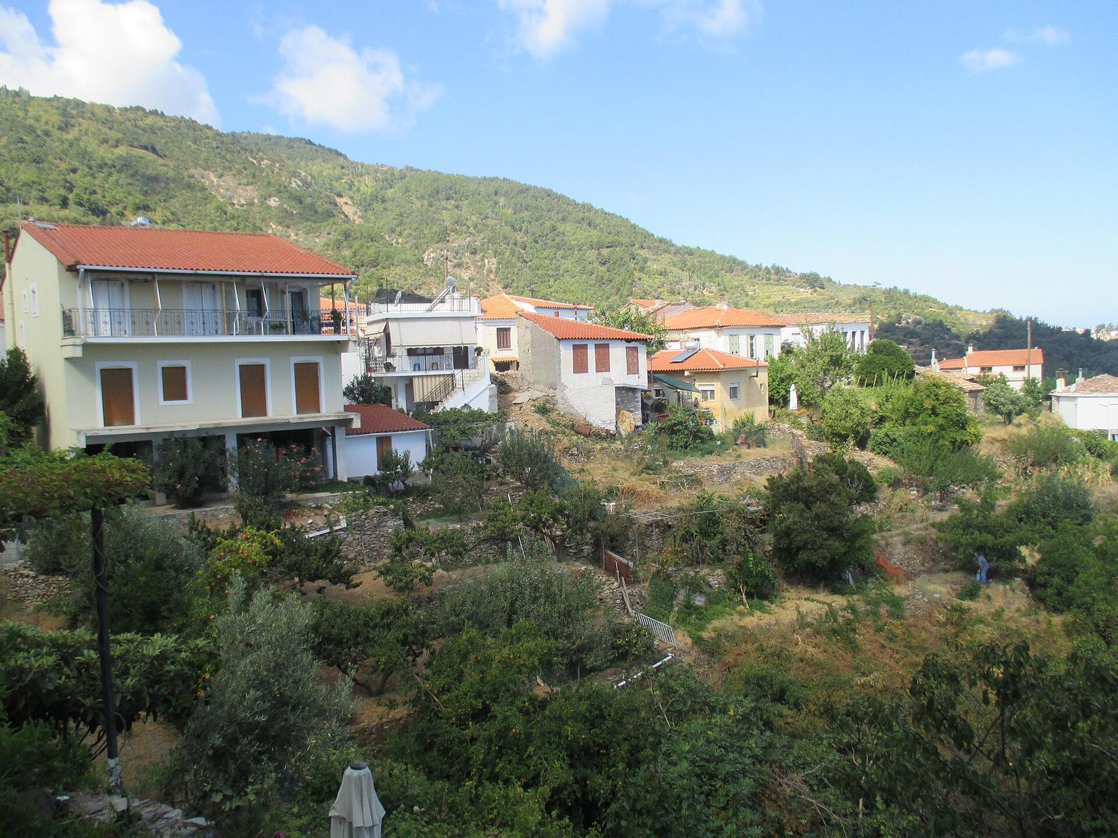
Getting to the west side takes time. Marathokampos, built like an amphitheatre on the lower slopes of Kerkis, lies 43 km from Vathy and 13 km from Karlovasi. The mountain road from Karlovasi is described as the riskiest drive on the island, single-track in places, with gravel on the hairpins and goats on blind bends; going round by the south coast adds about 25 minutes.
The climate figures published for Samos come from a coastal station, where July and August average highs of about 33 °C and almost no rain falls from June to September. The heights are wetter than the coast, and no reliable count of rain days exists for them. Forest fire risk runs from April to October, and starting a fire in Greece is a criminal offence even by accident.
The UK travel advice for hiking in Greece sums up the rest: plan the route in advance, avoid the hottest hours, carry plenty of water and a map or GPS, don't walk alone if you can help it, and tell someone where you are going. Check that your insurance covers mountain rescue and helicopter evacuation. If you are lost or injured, call 112.
Tours to Mount Kerkis
No Kerkis-specific guided tour is confirmed yet. It's a self-guided hike. The west-coast bus tour covers the Kerkis foothills on a gentler loop; browse every verified Samos tour.
See all Samos tours & tickets →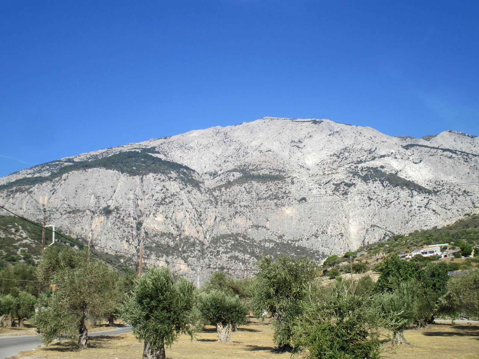
Frequently asked questions
It's a serious mountain day, best suited to fit, experienced walkers. Height gain and heat matter more than distance. Allow a full day, start early and carry at least 3 litres of water.
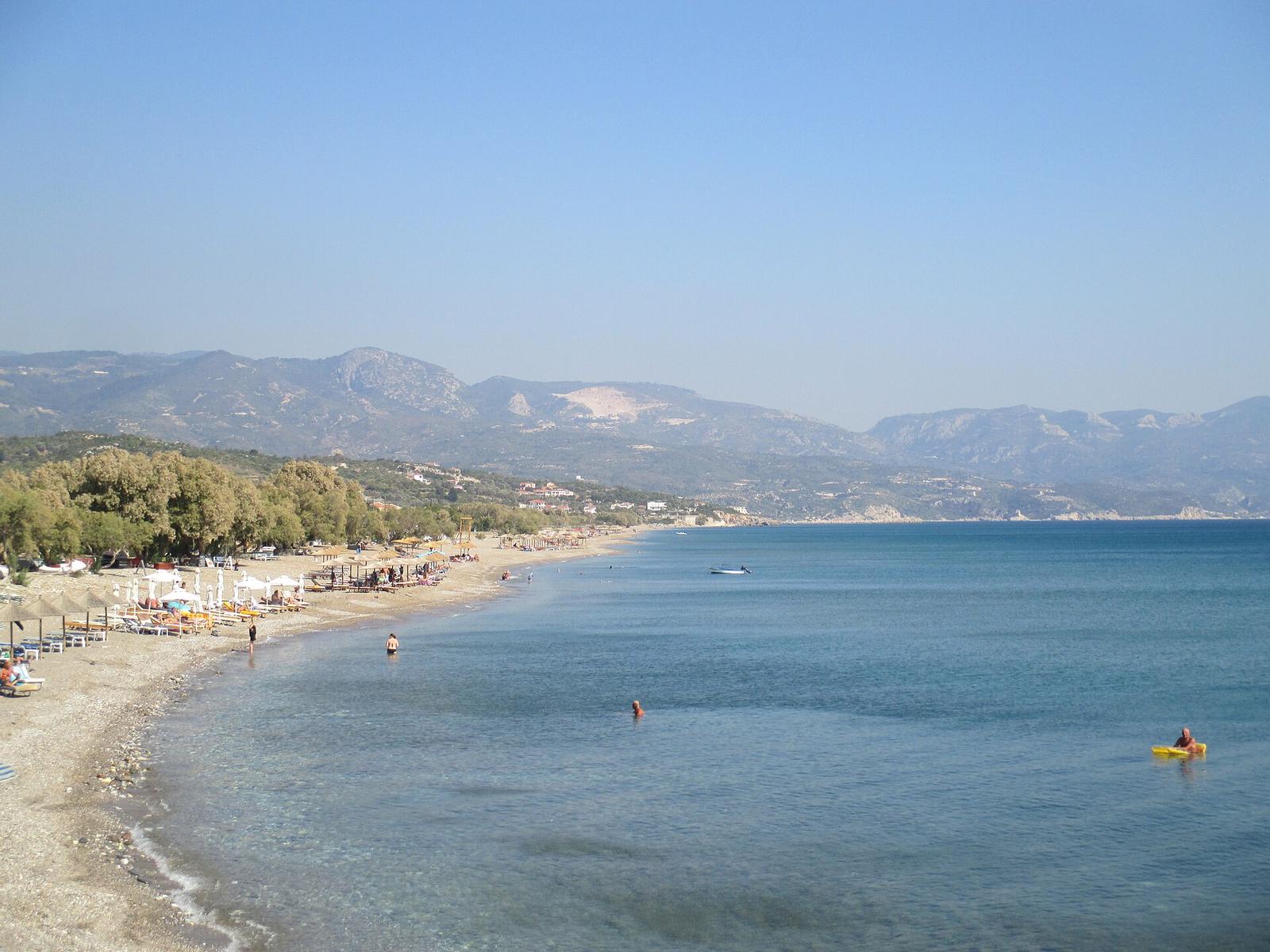
See the best months to visitMarathokampos and Votsalakia on the west coast are the natural base: quiet, with a long beach, and close to the main trailheads for Kerkis.
Explore Marathokampos & VotsalakiaYes: a guided west-coast loop covers the Kerkis foothills, Manolates and Karlovasi without the full climb.
Continue to Manolates & AmbelosPractical details (opening times, prices) change. Verify before you go. Last updated September 2026.