By the Samos-Island.com editorial team · · How we work
Short answer
Samos is a Greek island in the North Aegean, about 1.6 km from the Turkish coast across the Mycale Strait. It covers roughly 477 square kilometres, had 32,642 residents in the 2021 census, and is served by one airport (SMI) and three ferry ports: Vathy, Karlovasi and Pythagoreio. Its currency is the euro.
This page collects the basic facts about Samos in one place. Figures come from the sources listed at the bottom, and values that vary are given as prudent ranges or pointed to the official source.
Everything was last verified on 2026-09-20. Timetables, prices and rules change, so treat this as a reference and confirm time-sensitive points before you travel.
Summarize this article with:
What are the key facts about Samos?
| Item | Fact | Note |
|---|---|---|
| Location | Eastern Aegean Sea, off the coast of Turkey | Between Chios to the north and Patmos and the Dodecanese to the south |
| Region | North Aegean region, Samos regional unit | Since 2019 there are two municipalities, East Samos and West Samos |
| Distance to Turkey | About 1.6 km at the narrowest point (Mycale Strait) | Kusadasi is the nearest Turkish town with a passenger ferry link |
| Area | About 477 km2 | Wikipedia gives 477.4 km2 |
| Population | 32,642 (2021 census) | The capital, Vathy, has roughly 6,000 residents |
| Highest point | Mount Kerkis, 1,434 m | See the Mount Kerkis guide |
| Main towns | Vathy (capital), Karlovasi, Pythagoreio | Marathokampos and Kokkari are the other well-known settlements |
| Airport | Samos International Airport (SMI), south-east coast near Pythagoreio | The island's only airport |
| Ferry ports | Vathy, Karlovasi, Pythagoreio | See Getting there |
| World Heritage | Pythagoreion and Heraion, inscribed by UNESCO in 1992 | One listing with two component locations |
| Currency | Euro | Cards are common in towns, so carry some cash for villages |
| Time zone | Eastern European Time, UTC+2 (UTC+3 in summer) | Same as Athens |
| Languages | Greek; English is widely spoken in tourist businesses | Less consistent in mountain villages |
| Electricity and emergencies | 230 V, plug types C and F; emergency number 112 | 112 works across the EU |
Sources: Wikipedia, Wikivoyage, Visit Greece and the site's own destination pages. Verified 2026-09-20.
How do you get to Samos, in numbers?
Durations below are indicative. They depend on the operator, the vessel, the season and the stops, so check the current timetable.
| Route | Indicative time | Season and notes |
|---|---|---|
| Athens to Samos by air | About 50 to 55 minutes | Domestic flights, the usual option outside summer |
| Northern Europe to Samos by air | Roughly 3 to 4 hours | Direct flights are mostly seasonal and change from year to year |
| Piraeus (Athens) to Samos by ferry | Roughly 9 to 14 hours on conventional services | Faster services run less often, mostly in summer |
| Samos to Kusadasi (Turkey) by passenger ferry | Around 1 to 1.5 hours | Seasonal, mainly April to October; bring your passport |
| Samos to Ikaria, Patmos and Chios by ferry | Varies by route | More choice in summer, so confirm before building a route |
| Airport to Pythagoreio by road | About 10 minutes | Approximate, in normal traffic |
| Airport to Vathy by road | About 20 to 30 minutes | Approximate |
| Airport to Kokkari by road | About 30 to 40 minutes | Approximate |
| Airport to Karlovasi or Marathokampos by road | About 45 to 60 minutes | Mountain roads are slower than the map suggests |
When is the season on Samos?
| Months | Season | What to expect |
|---|---|---|
| July and August | Peak | Hottest and busiest, highest prices, most flights and ferries |
| June and September | High | Warm sea, fewer crowds, lower prices than peak |
| May and October | Shoulder | Good value, sea still swimmable, some rain at either end |
| April | Spring | Mild and green, wildflowers on trails, cool sea |
| November to March | Low | Mild but quiet; many hotels, tavernas and tour operators close |
Summer winds (the meltemi) can disrupt Aegean ferries. Month-by-month detail is on [Best time to visit](/best-time-to-visit).
What are the key places on Samos?
| Place | What it is | Guide |
|---|---|---|
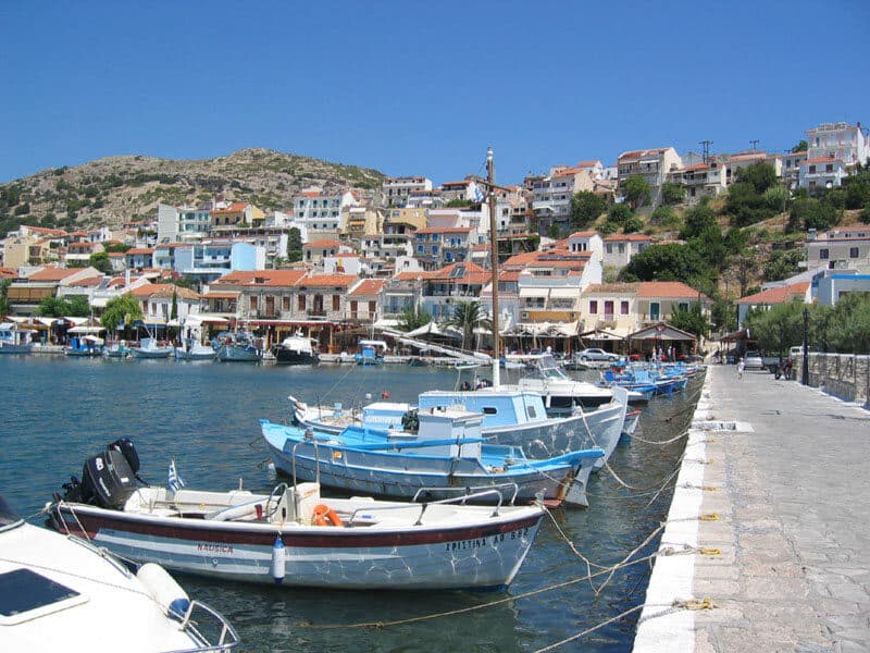
| Pythagoreio | UNESCO-listed harbour town on the south-east coast, birthplace of Pythagoras | Pythagoreio |
| Heraion of Samos | Ancient sanctuary of Hera by the sea, part of the UNESCO listing | Heraion |
| Eupalinos Tunnel | 6th-century BC aqueduct tunnel dug through Mount Kastro | Eupalinos Tunnel |
| Vathy (Samos Town) | Island capital, main port and archaeological museum | Vathy |
| Kokkari | Fishing village on the north coast with tavernas and two Blue Flag beaches nearby | Kokkari |
| Tsamadou and Lemonakia | Blue Flag pebble coves near Kokkari | Beaches |
| Karlovasi | Second town and ferry port on the north-west coast | Karlovasi |
| Potami Waterfalls | Shaded gorge walk to two waterfalls | Potami |
| Manolates and Ambelos | Stone mountain villages above the pine forest | Manolates |
| Mount Kerkis | Highest peak on the island | Kerkis |
| Marathokampos and Votsalakia | Quiet west coast with the longest sandy beach | Votsalakia |
| Kasonisi Islet | Turquoise coves off the south coast | Kasonisi |
What should you check before you go?
- Entry rules: Greece is in the Schengen area. Check your nationality with official government sources.
- Border systems: the EU is phasing in new border systems, so read the official EU travel pages.
- Health cover: EHIC or GHIC where they apply, plus travel insurance.
- Flights and ferries: confirm current timetables for your dates.
- Rental car cover: check that insurance covers mountain and unpaved roads.
- Opening times: small sites and tavernas may close in the low season.
Frequently asked questions
Samos is a Greek island in the eastern Aegean Sea, in the North Aegean region, about 1.6 km from the Turkish coast at the narrowest point.
About 477 square kilometres, with 32,642 residents at the 2021 census. Mount Kerkis, at 1,434 m, is the highest point.
Samos International Airport (SMI), on the south-east coast near Pythagoreio. It is the island's only airport. See [Getting there](/getting-there).
The euro, and Eastern European Time (UTC+2, or UTC+3 in summer), the same as Athens.
Part of it is. Pythagoreion and the Heraion were inscribed by UNESCO in 1992, as one listing with two locations. See [Pythagoreio](/destinations/pythagoreio).
June and September combine warm sea with fewer crowds and lower prices than July and August. Details are on [Best time to visit](/best-time-to-visit).
Sources and further reading
Tours that fit this plan
See all tours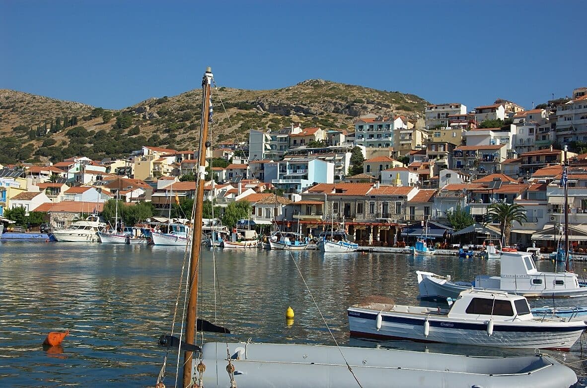 Top pickfrom US$58
Samos: East Coast Boat Trip with Lunch and Drinks
- Samos' best-reviewed boat trip on GetYourGuide
- Lunch and drinks included, swim stops along the east coast
Best for: First-timers, anyone who wants one easy, well-reviewed day out
Check price & availability →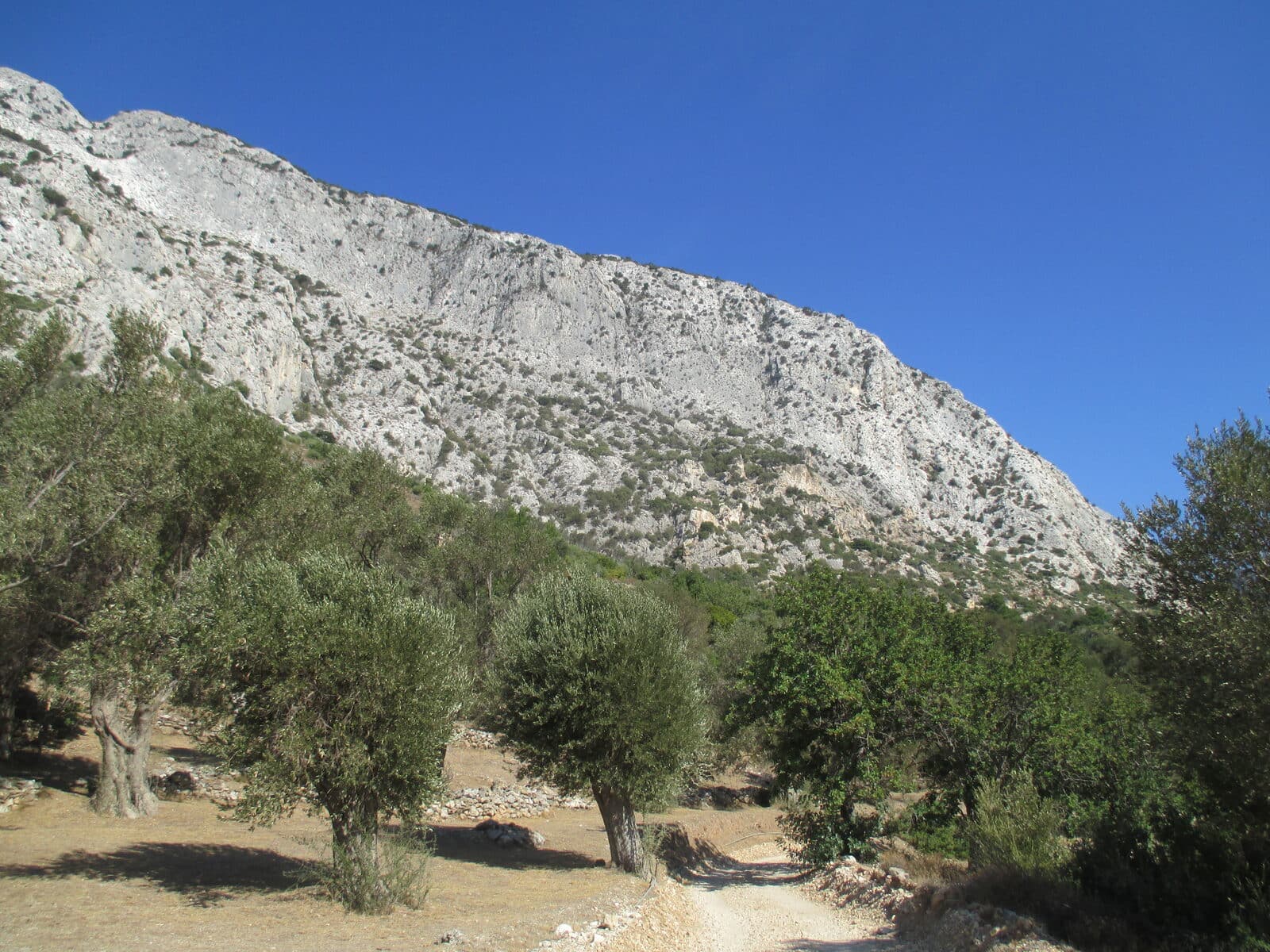 Full-day tourfrom US$69
Samos: Full-Day Island Bus Tour (Starting from West Samos)
- Focuses on the quieter west coast: Karlovasi, Manolates, Mount Kerkis foothills
- A guided loop with hotel pickup included
Best for: First-timers who want the west coast highlights in one organised day
Check price & availability →€5 free + 5% cashback
Join Igraal, then get cashback on every GetYourGuide booking above.
Keep planning
Getting there
Flights, ferries and entry rules
Best time to visit
Month-by-month weather and crowds
Samos travel guide
Money, safety, food and what to pack
Where to Stay
Compare hotels by area, with live prices
Still have a question? Browse every Samos FAQ →
Related guides
- Editorial standardsHow facts are checked and dated
- Getting thereFlights, ferries and entry rules
- Best time to visitMonth-by-month weather and crowds
- Things to know before visiting SamosPractical tips and a checklist
- Places to visit on SamosEvery key place, one guide each
- Samos itineraries: 3, 5 and 7 daysDay-by-day plans