By the Samos-Island.com editorial team · · How we work
Short answer
Samos covers 477 km2 and runs 43 km from east to west. One main road, the EO 62, follows the coast from Karlovasi in the north-west to Pythagoreio in the south-east, with Vathy, the capital, in the north-east. Two mountain massifs sit in between, so where you sleep decides how long you drive.
Samos has no grid of roads. One main route circles the island, and two mountain massifs, the Kerkis in the west and the Ampelos in the centre, cut across it. That layout decides where you should sleep, what you visit in the morning and how long you spend driving.
Read the map before you book. A room in Pythagoreio looks close to Kokkari on a screen, but the two sit on different coasts with Vathy between them. This page places each village, gives its distance from Vathy and shows which stretches of road need time.
Distances come from OpenStreetMap road data and are measured from Vathy unless stated otherwise. The driving times are automatic calculations raised by about a fifth for mountain roads. A hire car on the EO 62 will not match a route planner, so treat the tables as realistic, not optimistic.
Summarize this article with:
The island in figures
Samos covers 477 km2. It measures 43 km from east to west and 13 km across at its widest, so it is long and narrow rather than round. That shape matters: most journeys run along the length of the island, and crossing from one coast to the other means climbing.
Two massifs shape the map. Mount Kerkis rises to 1,434 m in the west and is the highest point on the island. The Ampelos massif, 1,095 m, fills the centre. The road goes around them or over their shoulders, which is why straight-line distances mislead.
The 2021 census counted 32,642 residents, split since 2019 between two municipalities: Eastern Samos with 20,021 and Western Samos with 12,621. Vathy, Karlovasi and Pythagoreio are the main centres. To the east, the Mycale strait separates the island from the Turkish coast, hardly two kilometres wide at its narrowest.
The north coast, from Karlovasi to Vathy
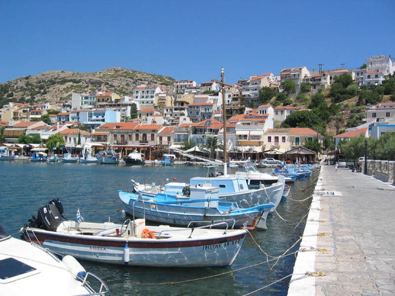
The north coast is the most populated side of the island. Vathy, the capital, sits at the eastern end with the main port. Karlovasi, the second town, closes the western end. Between them come Kokkari, Agios Konstantinos and, just past Karlovasi, the waterfalls at Potami.
This is where the EO 62 is easiest to drive. It stays close to the sea for most of the way, with few climbs, so the times in the table below hold up better here than anywhere else. Kokkari is the natural base if you want this coast within short reach.
| Place | Where it sits | From Vathy | Worth it for |
|---|---|---|---|
| Vathy (Samos town) | North-east corner | Reference point | The capital: main port, archaeological museum, ferries to Kusadasi |
| Kokkari | North coast | ~10 km / 12 min | Fishing village, beach in the village, Tsamadou and Lemonakia around the headland |
| Agios Konstantinos | North coast, west of Kokkari | ~17 km / 18 min | Quiet seafront village between Kokkari and Karlovasi |
| Karlovasi | North-west corner | ~31 km / 35 min | Second town of the island, university, ferry port |
| Potami | North-west, near Karlovasi | ~33 km / 35 min | Waterfalls, gorge walk and two small lakes |
The south-east, from Vathy to Pythagoreio and Ireon
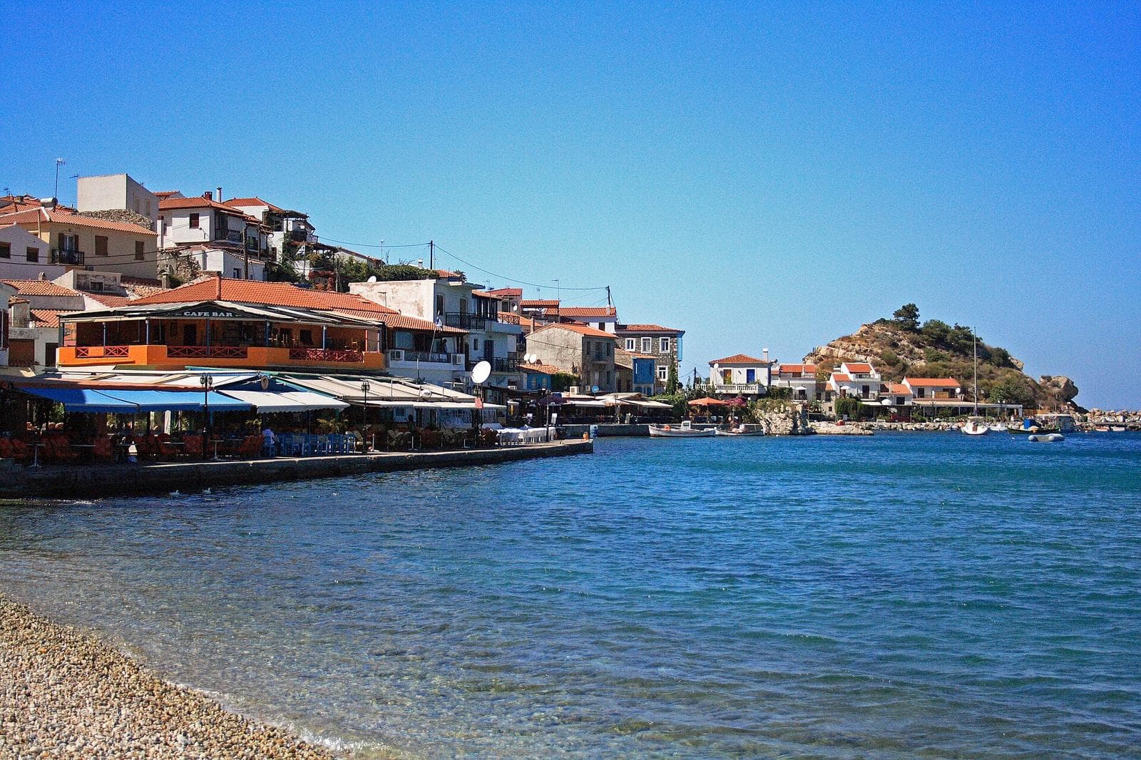
The south-east corner concentrates the airport, the ancient town of Pythagoreio and the Sanctuary of Hera at Ireon. Psili Ammos and Posidonio face the Turkish coast across the strait, and Mytilinioi sits inland in the valley south of Vathy. Everything here is close together on the map.
Pythagoreio makes a practical base if you arrive by air, since the airport is 3.5 km away. It is not a base for the north coast. Kokkari lies on the other side of Vathy, so every trip there adds both legs shown in the tables to your day.
| Place | Where it sits | From Vathy | Worth it for |
|---|---|---|---|
| Mytilinioi | Inland valley, south of Vathy | ~11 km / 15 min | Wine village in the middle of the island |
| Pythagoreio | South-east coast | ~11 km / 14 min | UNESCO town, harbour, tavernas, airport 3.5 km away |
| Psili Ammos | South-east coast | ~12 km / 18 min | Long sandy beach, tavernas on the sand |
| Posidonio | South-east coast, closer to Vathy | ~9 km / 11 min | Beach village used by people staying in Vathy |
| Ireon (Heraion) | South coast | ~18 km / 25 min | Sanctuary of Hera, beach, end of the road |
The west coast and the mountain villages
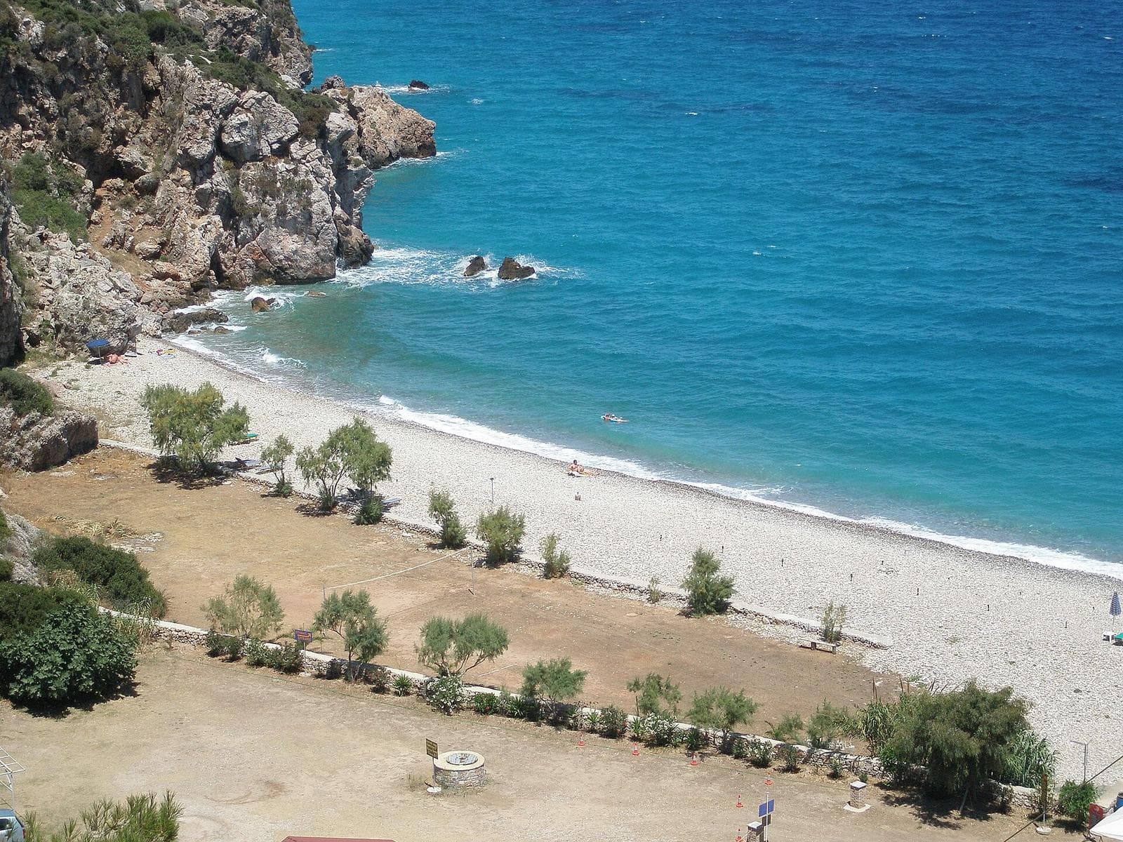
On the slopes of the Ampelos and west of Karlovasi, the map stops being flat. Manolates, Vourliotes and Platanos sit high above the north coast. Further south-west, Marathokampos and the beach at Kampos Votsalakia lie under the Kerkis, the island's highest massif, where the road climbs steeply.
This half of Samos rewards a car and punishes a tight schedule. Mountain villages look close to the coast, yet the road reaches them through bends and gradients. Of all the times in the table below, these are the least reliable, so plan fewer stops per day here.
| Place | Where it sits | From Vathy | Worth it for |
|---|---|---|---|
| Manolates | Ampelos slopes, north side | ~21 km / 30 min | Mountain village, views over the north coast, crafts and tavernas |
| Vourliotes | Ampelos slopes, north side | ~21 km / 30 min | Village above the coast, wine and views |
| Platanos | Ampelos slopes, above Karlovasi | ~21 km / 30 min | Quiet village on the road across the massif |
| Marathokampos | South-west, Kerkis slopes | ~34 km / 40 min | The mountain village, base for walks on the Kerkis |
| Kampos / Votsalakia | South-west coast | ~34 km / 45 min | Long beach, seafront tavernas, start of the Kerkis trail |
Ports, ferries and the airport
Samos has three ports. Vathy, in the north-east, is the main one and handles the ferries to the Turkish coast. Karlovasi, in the north-west, serves Piraeus and the Cyclades. Pythagoreio, in the south-east, is a passenger port beside the ancient town. Check which one your ferry uses before booking.
The airport, coded SMI, lies 3.5 km from Pythagoreio and 14 km from Vathy. Arriving by air therefore puts you in the south-east, while a ferry to Karlovasi lands you at the opposite end. If your room is on the far side, count that drive into your first day.
| Arrival point | Where | What it is for | Useful distance |
|---|---|---|---|
| Vathy port | North-east | Main port, ferries to the Turkish coast and to other islands | In the capital |
| Karlovasi port | North-west | Second port, ferries to the Cyclades and Piraeus | ~31 km from Vathy |
| Pythagoreio port | South-east | Passenger port next to the UNESCO town | ~11 km from Vathy |
| Samos airport (SMI) | South-east, near Pythagoreio | Seasonal and year-round flights | 3.5 km from Pythagoreio, 14 km from Vathy |
Reading the roads: what the map does not show
The EO 62 is the spine of the island. It links Karlovasi in the north-west to Pythagoreio in the south-east along the coast, and a full loop of Samos covers roughly 110 to 120 km of road. Most visitors never need another route, but the loop is longer than it looks.
The driving times on this page come from an automatic calculation, raised by about a fifth to reflect mountain roads. A route planner assumes you hold the limit on every bend. A hire car on the EO 62 will not, especially on the climbs in the west, so trust the adjusted figures.
The map will not show which stretches lack barriers or lighting, or where gravel collects after rain. Drive the mountain sections in daylight, leave a margin before a ferry or flight, and treat a short distance on the screen as a slow one on the ground.
Frequently asked questions
A full loop on the main road covers roughly 110 to 120 km. The mountain stretches in the west slow you down more than the distance suggests, so allow a full day with stops, or split the loop over two days.
Choose by the coast you want to explore. Vathy and Kokkari suit the north coast, Pythagoreio suits the south-east and the airport, and Kampos suits the west. Avoid sleeping on one coast to spend every day on the other.
For beaches and mountain villages, a car is the practical choice. Most places in the tables sit away from the main towns, and the mountain villages lie on climbing roads. Check local public transport if you stay in a main town.
Vathy, in the north-east, is the main port and the one used by ferries to the Turkish coast. Karlovasi, in the north-west, handles ferries to Piraeus and the Cyclades, and Pythagoreio serves passenger boats in the south-east.
Samos airport (SMI) is 3.5 km from Pythagoreio and 14 km from Vathy. Marathokampos and Kampos lie at the far western end of the island, so plan a longer transfer if you stay there.
Sources and further reading
Tours that fit this plan
See all tours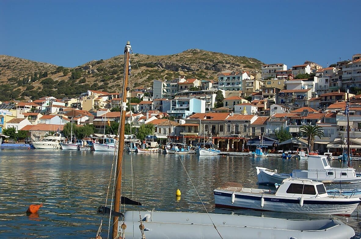 Top pickfrom US$58
Samos: East Coast Boat Trip with Lunch and Drinks
- The best-reviewed boat trip from Samos on GetYourGuide
- Lunch and drinks included, with swim stops along the east coast
- A single organised day at sea that covers lunch, drinks and swimming
Best for: First-time visitors, and anyone who wants one easy, well-reviewed day out on the water
Check price & availability →€5 free + 5% cashback
Join Igraal, then get cashback on every GetYourGuide booking above.
Keep planning
Samos travel guide
Money, safety, food and what to pack
Getting there
Flights, ferries and entry rules
Where to Stay
Compare hotels by area, with live prices
Not sure how to fit it all in? Plan my trip →